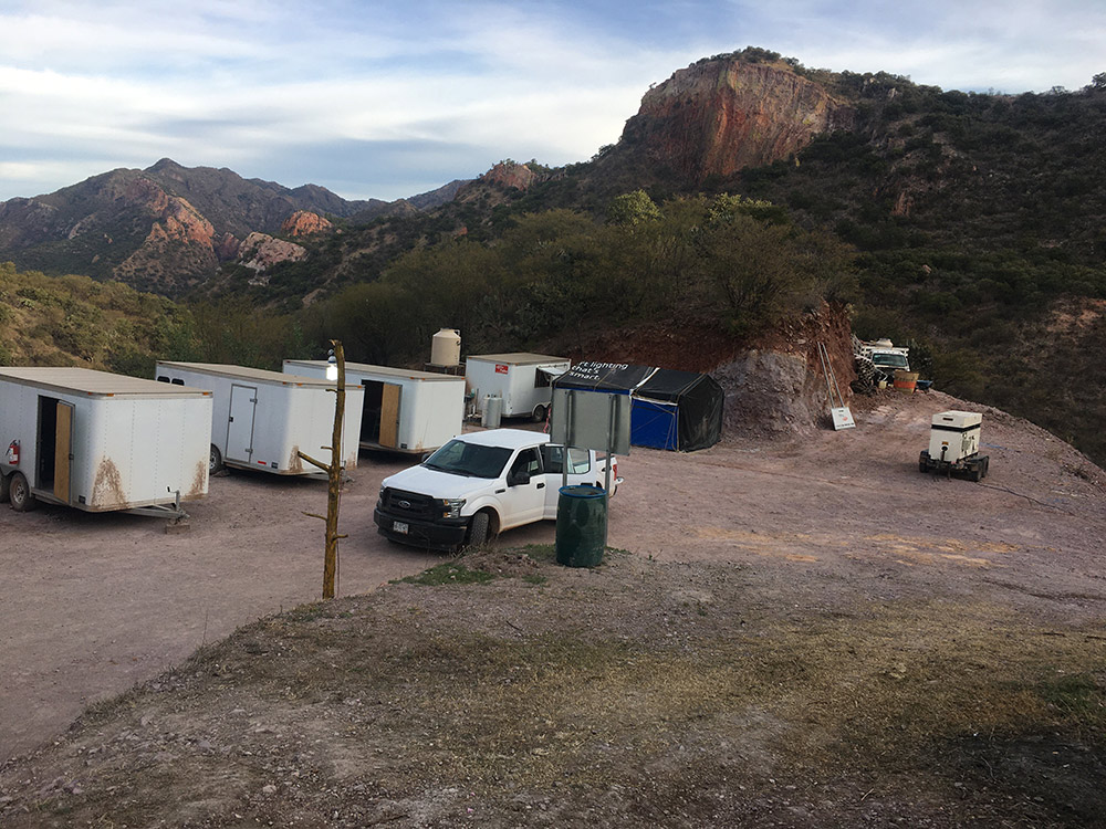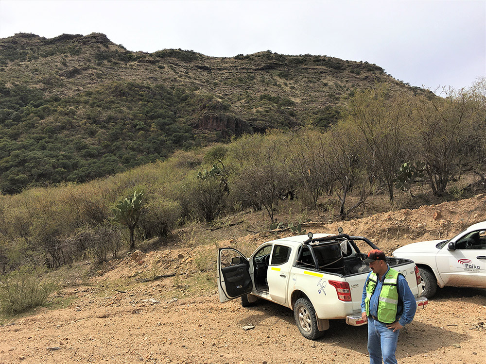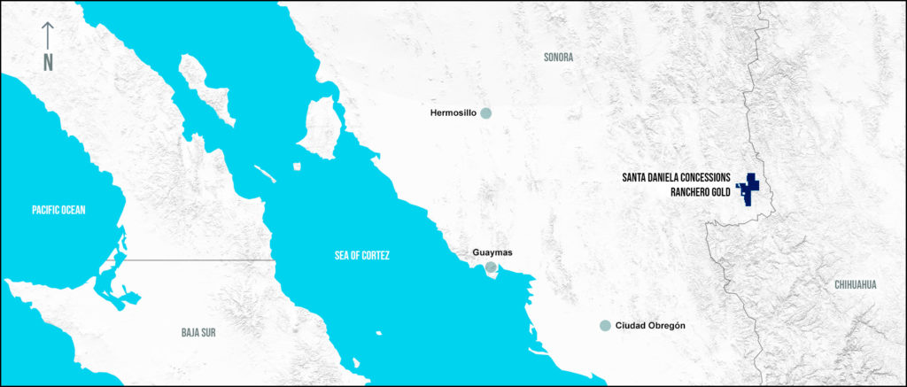
Under previous ownership the property had been evaluated and initial discovery drilling conducted at Maíz Azul, El Rincon and Mesas Coloradas. Maíz Azul drilling resulted in a new gold discovery and subsequent efforts have been focused there.
Since becoming involved in the project in early 2020 Ranchero has begun an extensive review that includes re-logging of all drill core, new geologic mapping and three-dimensional modelling at Maíz Azul. It has also begun a reconnaissance program of the entire concession block based on a proprietary analysis of satellite imagery to determine hydrothermally altered areas. Follow up field visits are underway and have located at least one new area of potentially mineralized rocks similar to Maíz Azul.
The project is now drill ready with priority targets identified.
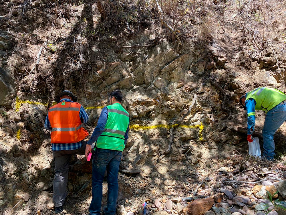
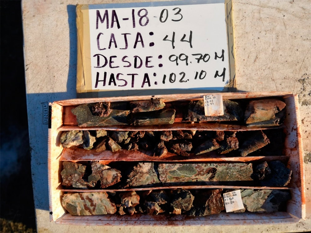
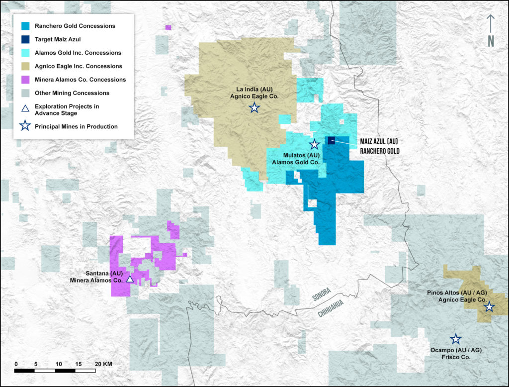
The Maíz Azul area is found at the northern end of the Sta. Daniela concession block within 3.5 kilometers of Alamos Gold’s Mulatos Mine. It is the most advanced prospect within the concession area. Initial rock chip and channel sampling identified anomalous gold values up to more than 10 gpt. Drilling in 2018 found multiple intercepts of subsurface gold including 36 meters of 1.6 gpt.
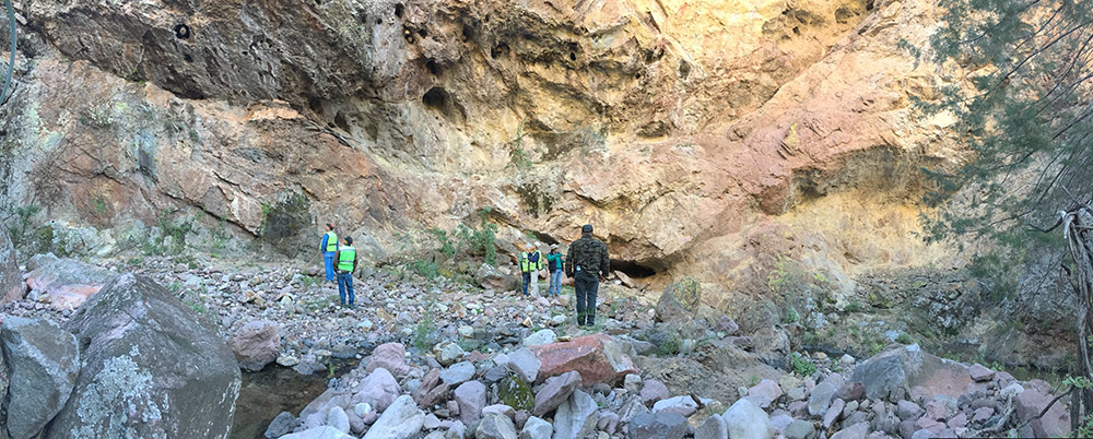
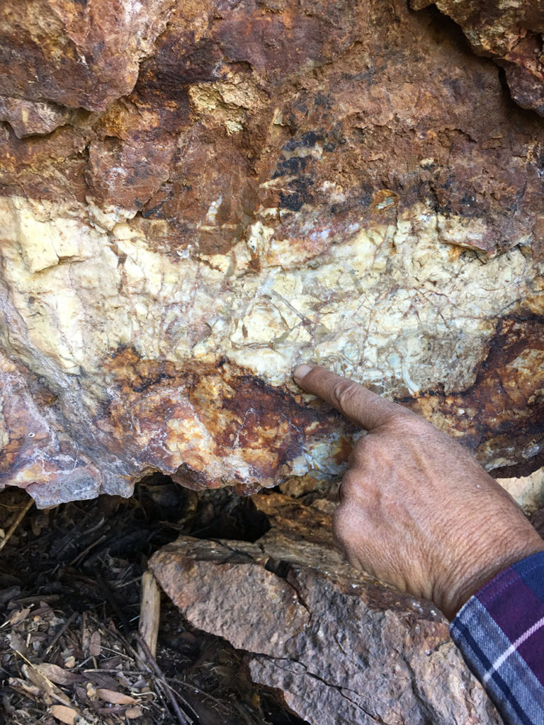
Mineralization at Maíz Azul is found in erosional windows that expose “Lower Series” volcanic formations known to host many of the regional gold deposits. These are composed of dacite and andesite rocks representing flows, pyroclastic deposits, dikes or sills and other volcanic events. The exposure of these rocks likely results from regional tectonic forces creating a series of faulted blocks (horsts and grabens). Upthrown blocks (horsts) would be more susceptible to erosion and more likely to expose “Lower Series”.
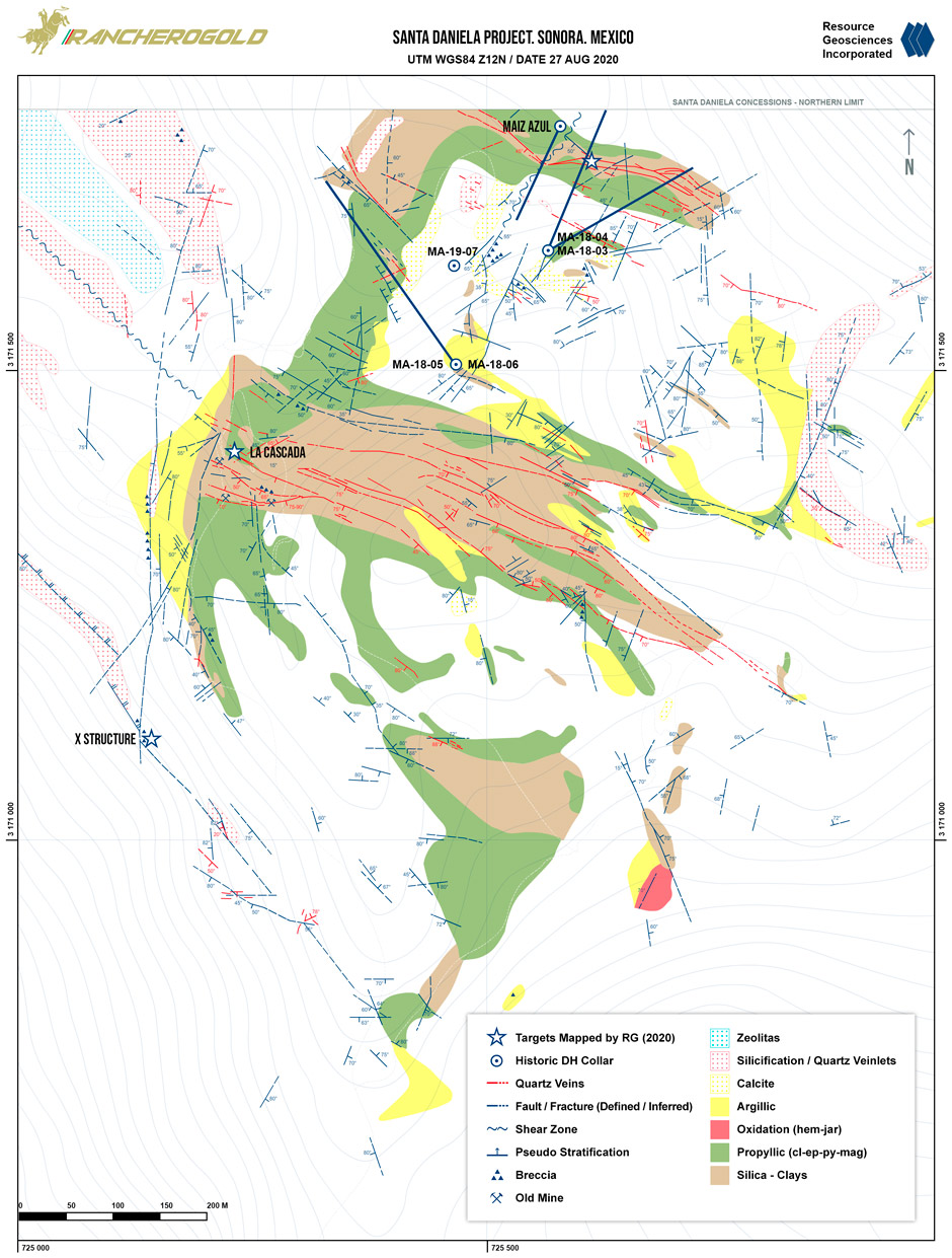
Recent mapping has identified three principal drill targets. They are characterized by extensive hydrothermal alteration and widespread, WNW trending sulfide/silica mineralization.
The northern, Maíz Azul target measures approximately 350 x 75 meters and is the location of historic drilling. The central “La Cascada” block is the largest target measuring over 650 meters in length by 100 meters wide. The X-structure lies furthest south is over 350 meters in length and projects an addition 200+ meter.
Pervasive hydrothermal alteration and surface gold mineralization defines three principal drill targets.
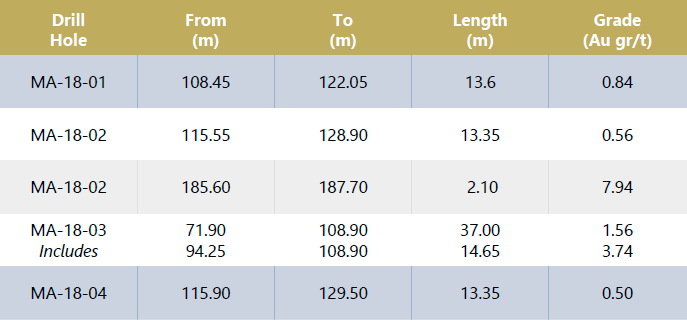
Averages are calculated on intervals greater than 0.1 g/t Au. Assays were capped at 10 g/t Au). The intervals were calculated and checked against primary assay certificates. No check samples have been collected but standards and blanks were inserted into the sample stream.
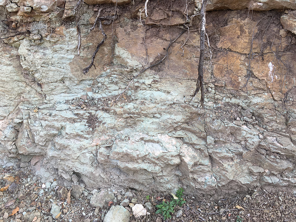
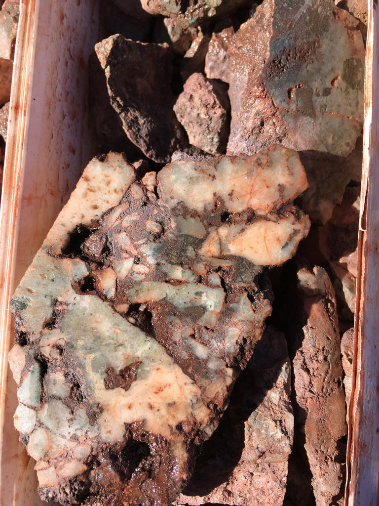
Gold was encountered in multiple fractured or brecciated zones with a high silica content and abundant pyrite. Ranchero’s preliminary view is that this mineralization is typical to other low-sulfidation, structurally controlled gold deposits.
Ranchero has planned a two-phase, 13,000-meter drilling program for 2021. Phase 1 will consist of an initial 3000 meters designed to confirm and expand known gold mineralization in the Maíz Azul target as well as initial testing of the La Cascada and X-Structure targets. This will be followed by a 10,000-meter program to begin initial quantification of a gold resource.
Ranchero also holds water rights for up to 3,000,000 cubic meters annually, sufficient for industrial operations.
A reconnaissance program covering the entire 22,000-hectare concession block has been begun recently and has identified other areas of potential gold mineralization. The initial analysis involved a compilation of all regional data together with a detailed interpretation of ASTER and Landsat satellite data to identify rock alteration related to mineralizing hydrothermal activity. Numerous areas have been identified and geologists have followed up by making site visits to map and collect rock chip samples. One area known as Rancho San Francisco has been identified as another erosional window similar to Maíz Azul.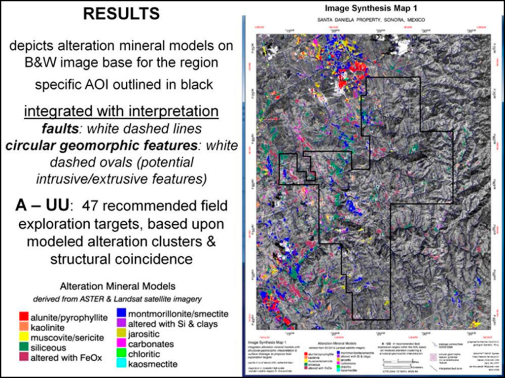
CSA NI 43-101 Technical Report on the Santa Daniela Gold Project, Municipios of Sahuaripa and Yecora, Sonora, México.
Prepared for Melior Resources Inc. by Matthew D. Gray, Ph.D., C.P.G. #10688.
Resource Geosciences Incorporated.
Date: 18 January 2021 .
Effective date: 24 August 2020.


